


By Yunus S. Saliu
The Joint Gambia-Senegal Boundary Commission has completed the first phase of a boundary demarcation exercise covering nearly 30 kilometres between Dimbaya in Kombo and Kanao in Foni.
The exercise involved reaffirming existing colonial boundary pillars, recording geographical coordinates and installing new pillars to make the international boundary between the two countries clearer and more precise.
Hassoum Ceesay, Director General of the National Centre for Arts and Culture (NCAC) and a member of the boundary demarcation task force, said the joint team spent six weeks undertaking the fieldwork.
He said the exercise would contribute to strengthening peace, stability and good neighbourly relations between The Gambia and Senegal.
Ceesay said the NCAC was playing an important role in the exercise through its historical and archival expertise, noting that records preserved at the centre provided important information on the origins and development of the boundary.
According to him, the Gambia-Senegal boundary was initially demarcated between 1889 and 1905 under the British and French colonial administrations.
He said the unusual geographical shape of The Gambia was largely the result of an agreement between the two colonial powers, under which Britain retained a narrow corridor along the River Gambia while France controlled the surrounding territory.
Ceesay explained that the initial demarcation did not rely on permanent boundary pillars. Instead, natural and temporary landmarks, including large trees, ponds, bolongs and footpaths, were used to indicate the boundary.
He said the system later proved unreliable, as trees used as markers could be uprooted by storms and ponds could dry up.
This prompted the colonial authorities to introduce permanent concrete boundary pillars between 1904 and 1905, he added.
Ceesay said the current exercise therefore involved more than surveying and installing boundary pillars, as it also required historical research, documentation and verification.
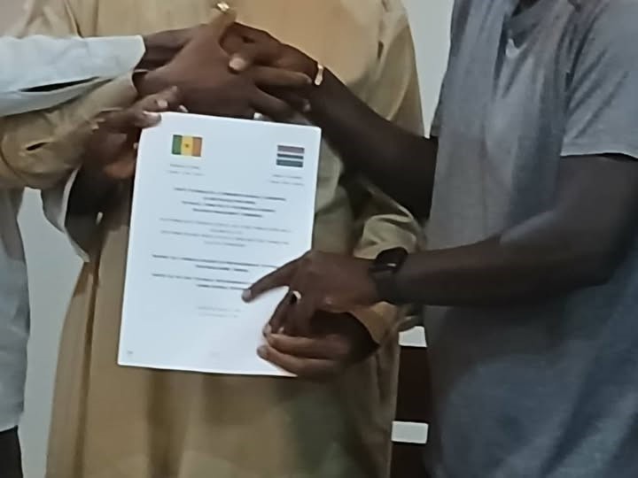
At the end of the first phase, the Joint Gambia-Senegal Boundary Commission signed nine agreements covering various aspects of the exercise.
He said each reaffirmed colonial boundary pillar would be accompanied by a descriptive sheet, while newly installed pillars would also have detailed documentation.
The agreements were signed by representatives of The Gambia and Senegal and witnessed by officials of the Permanent Senegal-Gambia Secretariat and experts from Ghana and Burkina Faso.
Ceesay said the involvement of experts from other African countries was intended to enhance transparency, technical credibility and acceptance of the process.
The agreements also covered technical reports on densification points, coordinates and pillars, among other aspects of the exercise.
He stressed the importance of preserving the documentation generated through the process, saying all reports and agreements would be archived for future reference.
Ceesay also highlighted the importance of involving countries with experience of boundary disputes.
“In 1985, Burkina Faso and Mali fought a war over a boundary dispute; Ghana and Togo almost did so recently, so they know what is at stake,” he said.
He said the ongoing exercise was therefore not only a technical effort to clarify the boundary but also part of broader efforts to strengthen peaceful relations and prevent future misunderstandings between The Gambia and Senegal.
With the first phase completed, the joint team is expected to continue the demarcation exercise as part of efforts to establish a clearer, properly documented and mutually accepted international boundary.